Is BIM ready for robots?
Edition: 3 October 2026 · Category: BIM News
This archive article preserves the English content of the original dated Daily BIM Tech Brief. Product availability, deadlines, research status and recommendations describe that edition—not a fresh assessment today. Underlying source dates differ from the edition date; supplier claims and research results remain attributed, not independent product tests.
Today’s main signal is that BIM is beginning to support not only human coordination, but also robot perception, navigation and safety decisions. A new open-access study shows how BIM geometry, robot imagery, point-cloud registration, Internet of Things sensors and IFC-linked safety information can be combined into a robot-ready construction digital twin. It is a promising research direction, but not yet proof of production autonomy.
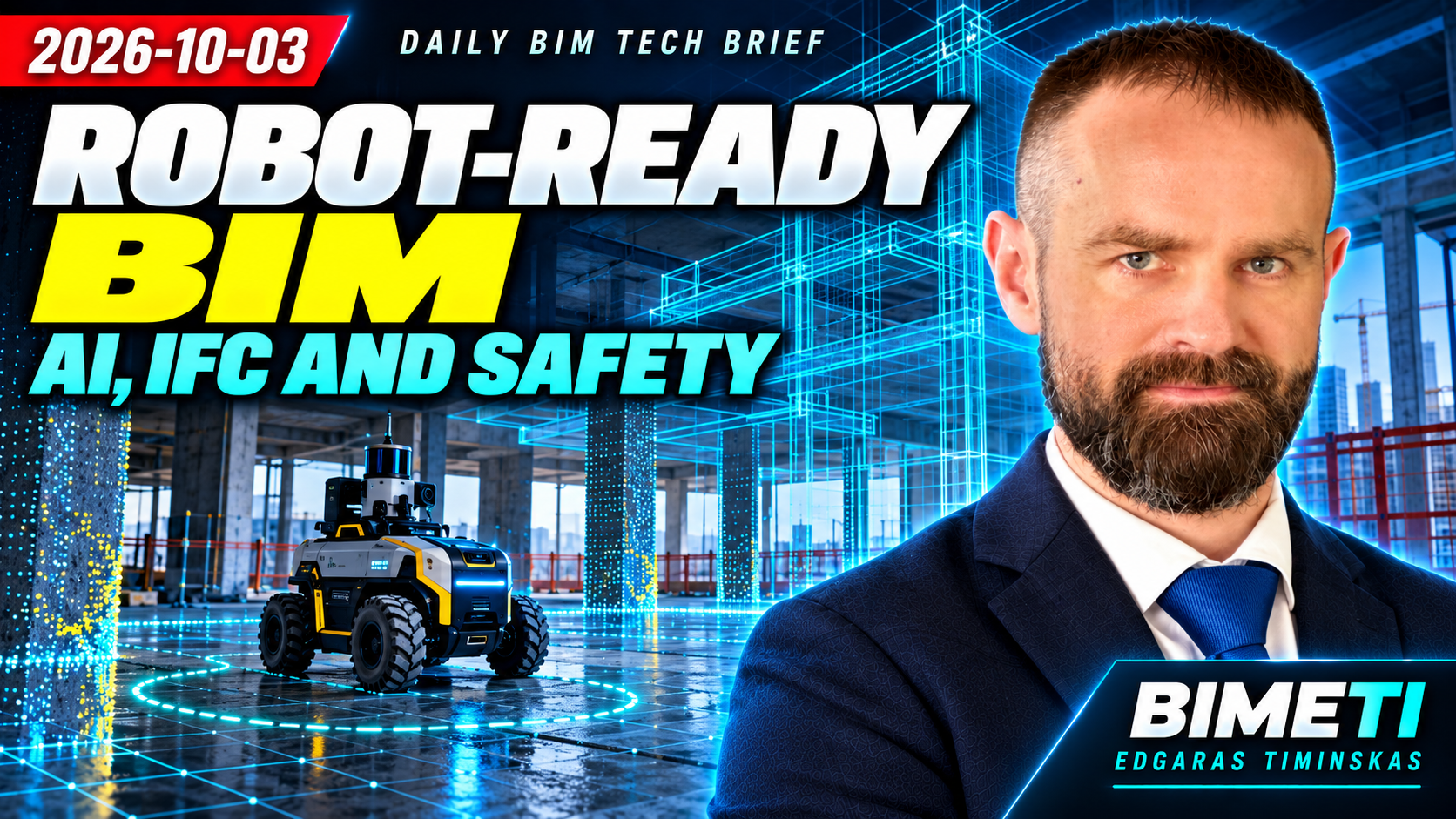
Visual archive note: no original per-topic video artwork was recovered for this edition. The original thumbnail and source video are retained; no substitute illustrations have been invented.
ISO 19650-1: a draft, not a replacement standard
Our first story concerns ISO nineteen-six-fifty dash one. The second edition has reached the decision stage for a Draft International Standard. The ISO register shows a technical revision of the twenty-eighteen edition. The ballot opened on March tenth, and the latest public stage is forty point ninety-three: the full ballot report has been circulated and a decision recorded on the project’s next step. The current twenty-eighteen standard has not yet been replaced.
This matters to organizations whose BIM execution plans, exchange information requirements and information management procedures depend on the standard. A draft, however, is not a final publication. The practical action is to create an impact-tracking record that lists the edition currently used, affected templates, process owners and a future review date. Contractual requirements should not be changed until the final edition is published and national adoption has been assessed.
Sources retained from the original edition: - https://www.iso.org/standard/89703.html - https://www.iso.org/standard/68078.html
ISO 22057 revision for environmental data
a revision of ISO twenty-two-zero-five-seven has begun for using environmental product declaration data in BIM. The new work item was approved on May thirteenth and is intended to replace the twenty-twenty-two edition. It covers how EPD information and generic life-cycle assessment data are structured in data templates so that they can be interpreted by machines in a BIM environment. Its present status is an early approved work item, not a completed new standard.
The connection between BIM quantities and EPD data is increasingly important for whole-life carbon analysis. Yet a product name or a PDF declaration is not enough for automated assessment. Teams need a stable product identity, declaration validity, measurement unit and clear geographical and technological scope. An EPD pilot should record the product identifier, declaration number and version, declared unit, validity period, source, model quantity rule and conversion factor.
Sources retained from the original edition: - https://www.iso.org/standard/92859.html
BIM2RDT: robot-ready construction twins
and our main topic today, an Automation in Construction paper has connected BIM, artificial intelligence, robot navigation and IFC-compatible safety data. The research framework, called BIM two RDT, combines BIM geometry with observations from an unmanned ground vehicle and data from Internet of Things sensors. Its semantic-gravity registration method uses orientation priors assigned to BIM families with the help of a language model. In controlled high-noise experiments, the authors report roughly sixty to ninety-seven percent lower root-mean-square registration error than the standard methods used for comparison.
The system also links hand-arm vibration monitoring to an IFC-compatible twin and creates activity-aware cost maps for robot motion. The important innovation is that BIM-family semantics are used not only for reporting, but also to constrain physical registration and path planning. This is still controlled research. The paper uses the word agentic in a narrow operational sense and does not claim autonomous long-horizon planning or full decision authority.
Sources retained from the original edition: - https://doi.org/10.1016/j.autcon.2026.107134
Trimble ST30 measurement workflow
the Trimble ST30 smart target combines optical measurement, an inertial measurement unit, satellite positioning and automatic pole height. Announced on September fifteenth, it includes a three-hundred-and-sixty-degree prism, tilt compensation, active tracking and target identification. It integrates with Trimble Access, Siteworks, FieldLink, Business Center and Trimble Connect. Orders are planned for the fourth quarter of this year, while integrated high-accuracy GNSS will be a separate subscription from next year.
Automatic pole height and a dual optical and satellite workflow may reduce human error, but they do not replace calibration, control points or evidence of measurement uncertainty. A procurement or pilot specification should require raw observations, target identity, pole height, measurement method, corrections, coordinate reference system, calibration state and operator traceability.
Sources retained from the original edition: - https://news.trimble.com/Trimble-Unveils-ST30-Smart-Target-for-Optical-Surveying-to-Enable-Unparalleled-Accuracy-Productivity-and-Integrated-GNSS-Capabilities
EU data-centre sustainability reporting
the European Commission has published a common sustainability rating scheme for data centres. The delegated regulation and annexes, published on September twenty-first, cover individual facilities above five hundred kilowatts. The scheme includes actual energy and water use, clean energy, waste heat and flexibility. It may enter into force after a two-month scrutiny period by the European Parliament and the Council. The first labels for individual data centres are expected in twenty-twenty-seven, while minimum performance standards are still under consultation.
A data-centre BIM or digital twin will need to support more than design capacity. It must reliably link physical meters, asset identifiers, operating periods and calculation boundaries. Until minimum thresholds are adopted, they should not be written into contracts as if they were final. The useful action now is a data-gap assessment covering energy, water, heat recovery, renewable energy and flexibility indicators, together with their provenance and approval responsibility.
Sources retained from the original edition: - https://energy.ec.europa.eu/publications/commission-delegated-regulation-establishing-common-union-rating-scheme-data-centres-and-annexes_en - https://commission.europa.eu/news-and-media/news/making-data-centres-energy-efficient-thanks-new-eu-rating-system-2026-09-21_en
iTwin Engage remains pre-release
Bentley iTwin Engage remains in a pre-release state. Bentley describes synchronized infrastructure digital twins, three-dimensional geospatial context and no-code visual experiences. The same page, however, says the company is preparing for a broader release and invites users to follow the twenty-twenty-seven release and upcoming previews.
Immersive visualization can help non-technical audiences understand an infrastructure project, but a compelling scene is not the authority for a design decision or engineering analysis. A technology register should mark the product as pre-release or upcoming preview. Any pilot should verify the source-twin version, object identifiers, georeferencing, update latency and traceability back to a common data environment record.
Sources retained from the original edition: - https://www.bentley.com/en/lp/itwin-engage-pre-release/
Graphisoft Design Intelligence availability
Graphisoft Design Intelligence is still presented through an early-access waitlist at the beginning of October. In June, Graphisoft said that early access to its cloud platform was planned for October and that the Archicad to Autodesk Forma connection would arrive in an upcoming Archicad update. The current public site still shows a waitlist, labels AI Assistant as beta and points to a broader global presentation on October thirteenth. That does not confirm general production availability.
After October thirteenth, teams should verify the exact build, region, license, data residency, supported objects, transfer direction and whether changes can return reliably to Archicad or Forma.
Sources retained from the original edition: - https://www.graphisoft.com/en-gb/newsroom/nemetschek-and-its-brand-graphisoft-to-unveil-next-design-intelligence-strategy-phase-at-aia-and-announce-archicad-autodesk-forma-connection/
Analysis and practical actions
Now for the deeper analysis. Robot-ready BIM is a governed contract for physical action.
In a conventional BIM process, the model mainly helps people understand, coordinate and document. In a robotic process, the same model becomes an input to sensor interpretation, localization, safety rules and motion planning. An error no longer ends with a wrong report. It can alter the path of a physical machine.
The BIM two RDT study combines five layers: BIM-family semantics, geometry, robot observations, safety sensors and an IFC-compatible operational state. The language model is not an all-powerful operator. It selects semantic orientation assumptions that help a registration algorithm in scenes with few distinctive features. This is a narrower and more testable AI role than a free-form autonomous agent.
A robot needs more than a visually impressive federated model. It needs a trustworthy coordinate system, stable object identity, tolerances, a current reality-capture state and a clear link among the BIM object, physical obstacle, sensor and machine action. IFC can carry part of the semantics and state, but the format alone does not guarantee correct mapping or a safe route.
The largest opportunities are repetitive inspection, progress capture, monitoring of hazardous areas and material movement. The principal risks are an outdated model, bad registration, an undetected temporary obstacle, a wrong orientation prior assigned by the language model, a mismatch between sensor and IFC identifiers, an incorrect safety limit, loss of connectivity and unclear authority to approve physical action.
Robot observations should not directly overwrite the authoritative design model. A separate operational-twin state is safer, with every record carrying a timestamp, source, uncertainty, coordinate transform and approval status. Only a verified change should become an issue, an as-built record or an approved model revision.
Five practical steps follow. First, choose an enclosed, low-risk area and one read-only task such as progress photography. Second, prepare a reference BIM and point cloud with control points, known obstacles and tolerances. Third, measure registration, detection, IFC mapping and navigation errors separately. Fourth, implement geofencing, emergency stop, a loss-of-connection state and human approval for scenarios that change physical action. Fifth, teach students and project teams to identify which layer is authoritative for geometry, semantics, operational state and safety decisions.
The conclusion is simple. Robot-ready BIM is not a new file format. It is a versioned contract among the model, sensors, coordinates, artificial intelligence, safety rules and human accountability. Production value will appear when every physical action can be traced to an approved data release and stopped safely.
Watch the edition: https://www.youtube.com/watch?v=kTAoVsAWZfk
Watch the original BIMETI Daily BIM Tech Brief — 3 October 2026. Archived edition; review the cited sources for details and later updates.